Data
SHRUG 2.0
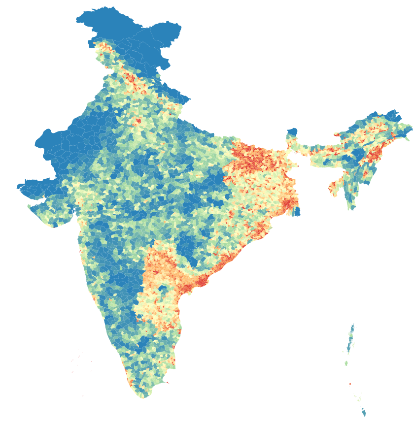
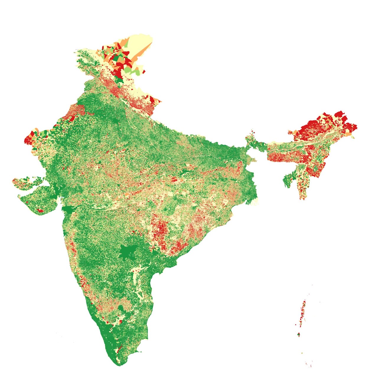
The Socioeconomic High-resolution Rural-Urban Geographic Platform for India (SHRUG) is a geographic platform that facilitates data sharing between researchers working on India. It is an open access repository currently comprising dozens of datasets covering India’s 500,000 villages and 8000 towns using a set of a common geographic identifiers that span 25 years.
Geo-referenced Indian Railways Data
Point coordinates for every single railway station in India as well as the entire Indian railway network, in .geojson format.
Red lines: railway network. Blue dots: stations. Click or tap a station for its name and code. Use + and − to zoom.